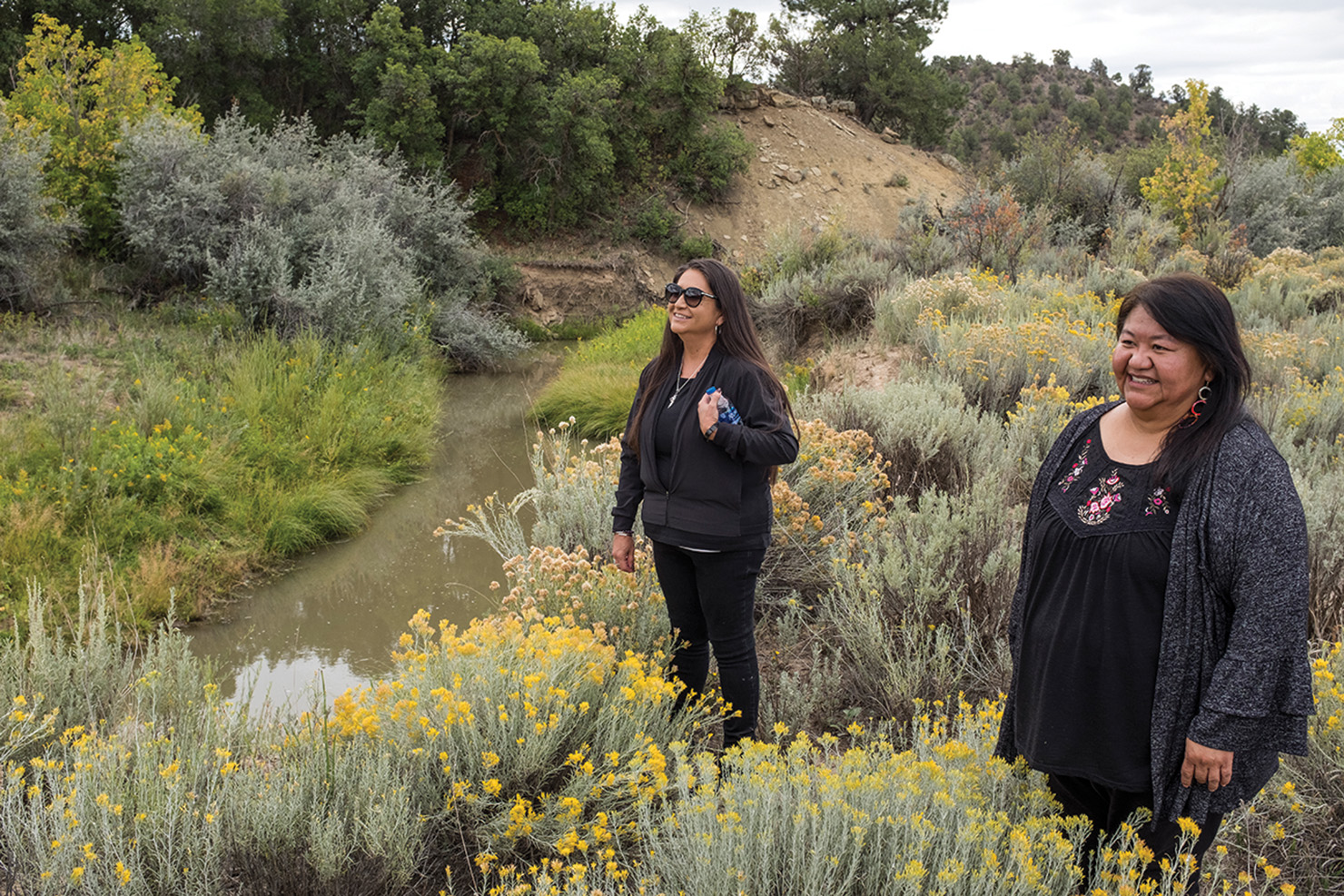
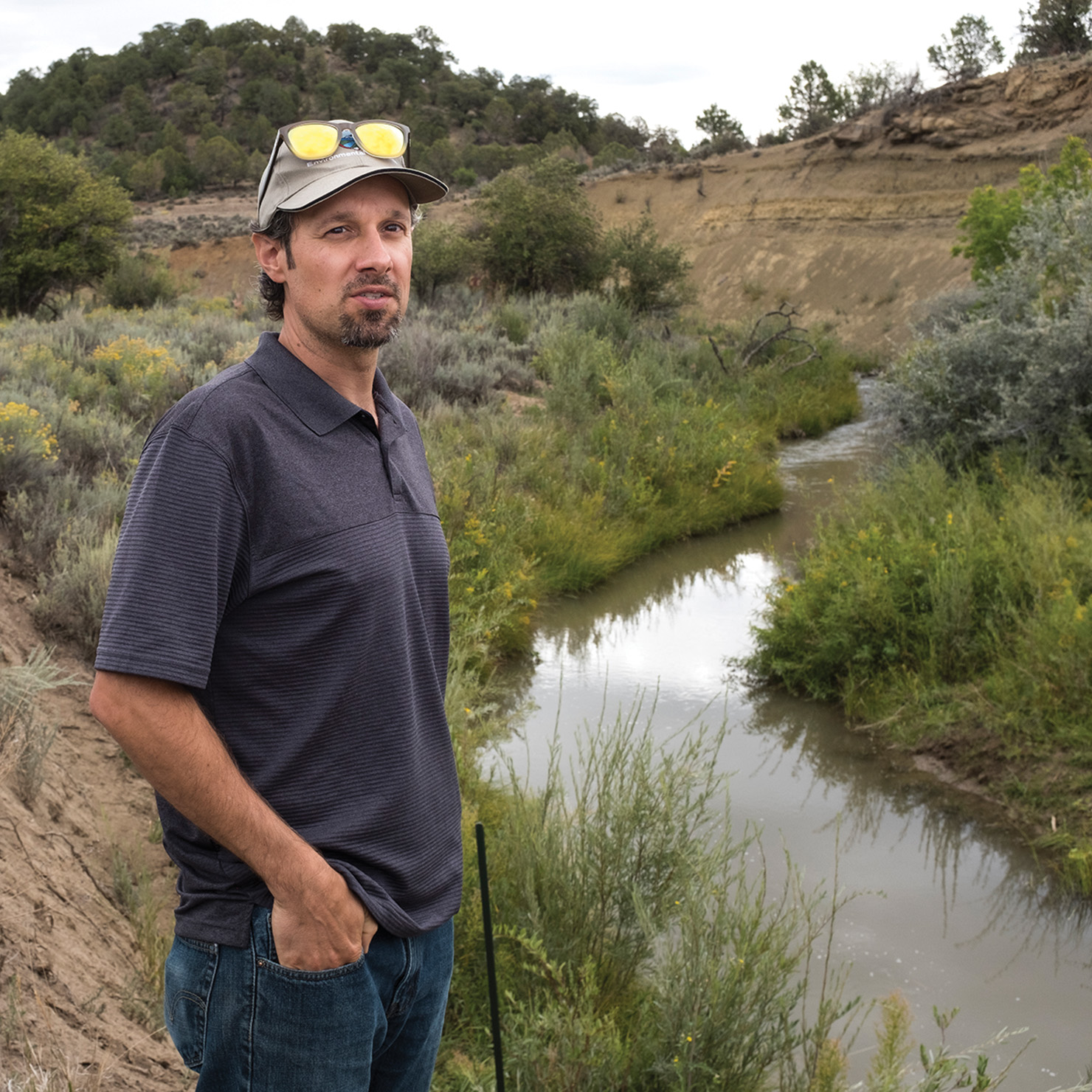
The Southern Ute Tribal Council headed into the field with the Environmental Programs Division to view stream restoration projects first hand on Spring Creek and Beaver Creek, Wednesday, Sept. 5. The projects are ongoing and funded entirely through state and federal grants.
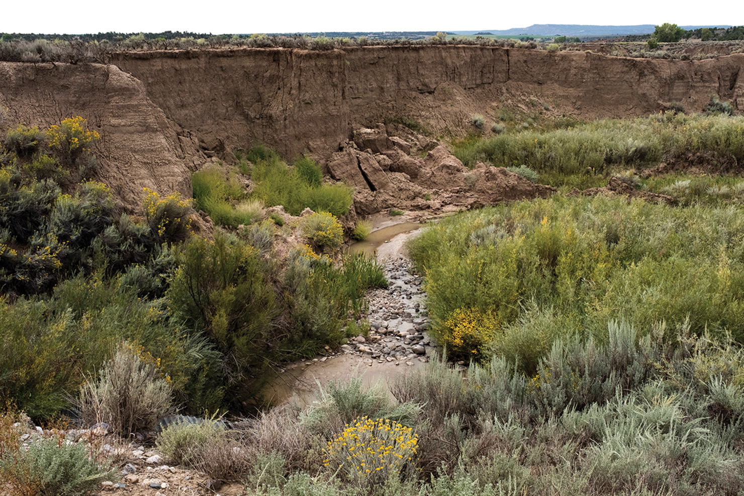
“The main driver of the issue is agricultural irrigation returns, combined with monsoon rains. You get bigger flows, causing erosion across the width of stream, while increasing depth; the main goal is to reduce bank erosion,” Senior Water Quality Specialist, Tim Funk said.
Once streambanks collapse, water carrying sediment flows downstream into the Pine River. The sediment is often rich in nutrients, which has a significant effect on downstream water quality. Excessive nutrients create algae blooms, spike the PH levels and dissolve oxygen in the water, all of which is stressful to fish and other aquatic life.
Loss of usable land due to banks collapsing is also a concern. Whenever an embankment erodes, or collapses entirely, a percentage of the surface becomes inhabitable and otherwise unsuitable for agricultural purposes.
“A few years back, one of the oil and gas operators working within the reservation had a pipeline leak into Spring Creek,” Funk explained. They were asked to complete a Supplemental Environmental Project in lieu of a fine, since the leak was considered a violation of the Clean Water Act. The operator hired a contract company out of Denver, Colo., Wright Water Engineers, to develop a watershed plan at the request of the Environmental Protection Agency (EPA).
“What that plan did is look at Spring Creek from the time it leaves the HD Mountains, in the National Forest, and enters into the high agricultural use areas,” Funk said.
The study encompassed a ten-mile stretch of Spring Creek, classified into low, medium and high priority.
“Once we had this plan, we had the road map to target projects with the help of various federal and state grants. Every year EPA puts out a request for competitive grant applications, the Tribe was awarded grant funding in FY 2018 and FY 2019. Stream restoration projects that have a watershed scale are the highest priority,” Funk said. “The ‘Wetlands for Wildlife’ grant is another source of funding, made available through Colorado Parks and Wildlife, which is yet to be determined.”
The Spring Creek stream restoration projects are labeled No. 1 and No. 2. The two phases are going to be completed simultaneously, but the designation was separate to allow for the funding through the individual grant applications.
“Irrigation return flows are causing the problem, mother nature cannot adapt quickly to the change, the return flows are essentially year-round,” Environmental Programs Manager, Curtis Hartenstine explained. “We have looked at all the problems, we’ve done our analysis, and we were targeting problem areas.” EPD hopes to construct this by the end of the irrigation season in 2019. Starting the project in mid to late August, and wrapping up by October. Bank restoration will be followed by revegetation, including willow transplants ahead of the winter season. The application has been submitted by EPD Water Quality to the Army Core of Engineers, which entails wildlife surveys, and archeological surveys. “We worked with Wildlife, and Lands, to make sure their program objectives were met,” Hartenstine said.
“The goal is to create a new floodplain, reduce velocity and therefor reduce erosion. We’re trying to get the system back in balance,” Hartenstine said.


